TUCSON, Ariz. (13 News) – Sunny and warming…for your Monday. A little string of hot days ahead, with readings reaching between 105 and 110. An excessive heat watch is in place for Tuesday and Wednesday. There are FAWD’s in place to cover this. That might be extended into Thursday.
Read more The coming week will bring the hottest temperatures so far this year
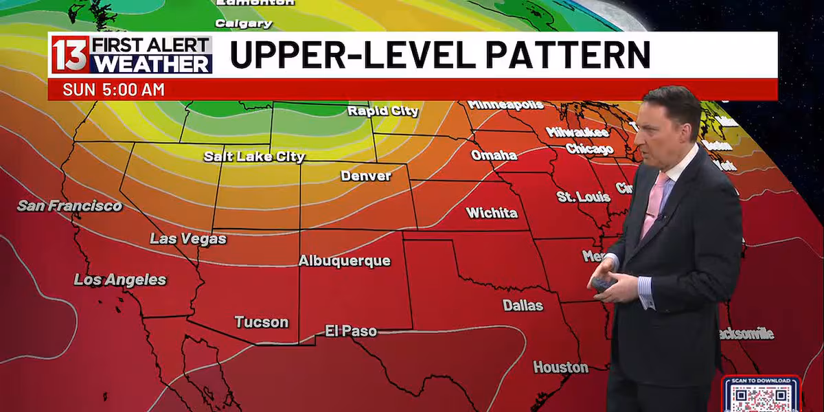
High pressure generally the drill here, however some details are giving us crosswinds. Models are picking up on some moisture getting entangled in the gears. With cloud cover during the day and some very widely isolated thundershowers could also cost us temps pushing past 105.
To finish the week and into the weekend, winds jump. There is another trough passing to our north and this might clean out our atmosphere into the weekend.
FIRST ALERT 7 DAY:
Today – Sunny and hot, with a high near 108. Calm wind becoming northwest 5 to 8 mph in the afternoon.
Tonight – Mostly clear, with a low around 77. Northwest wind 5 to 9 mph becoming light west northwest after midnight.
Read more Summer kicks off with increasing temperatures
Tuesday – Sunny and hot, with a high near 108. Light and variable wind becoming northwest 5 to 10 mph in the afternoon. Winds could gust as high as 21 mph.
Tuesday Night – Mostly clear, with a low around 79. Northwest wind 5 to 10 mph becoming light and variable after midnight.
Wednesday – Sunny and hot, with a high near 109. Light and variable wind becoming west northwest 5 to 10 mph in the afternoon. Winds could gust as high as 21 mph.
Read more Steamy for Father’s Day & the first day of summer
Wednesday Night – Mostly clear, with a low around 80.
Thursday – Sunny and hot, with a high near 109.
Thursday Night – Mostly clear, with a low around 79.
Friday – Sunny and hot, with a high near 108.
Friday Night – Mostly clear, with a low around 78.
Saturday – Sunny and hot, with a high near 106.
Saturday Night – Mostly clear, with a low around 76.
Sunday – Sunny, with a high near 104.