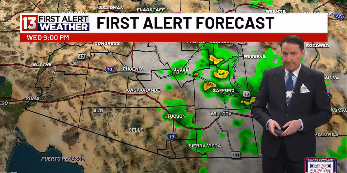
TUCSON, Ariz. (13 News) – More scattered to isolated thundershowers firing up this afternoon and evening. The pops for Tucson look better, around 30%, heavier chances to the south and southwest. Highs returning to 102. This will probably be the last ‘good day’ to get widespread rain and showers. The trend going drier.
Read more Alleged ringleader of planned attack targeting White House UFC event arrested in Nebraska
A trough from the northwest will clean us out for the weekend. Breezy and less humid with highs much the same. Minor temperature bump into early next week. However, looks dry to start the new week.
FIRST ALERT 7 DAY:
Today – A 30 percent chance of showers and thunderstorms after 2pm. Increasing clouds, with a high near 104. Light and variable wind becoming west 9 to 14 mph in the morning. Winds could gust as high as 23 mph.
Tonight – A 30 percent chance of showers and thunderstorms before 11pm. Mostly cloudy, then gradually becoming clear, with a low around 74. West northwest wind 5 to 10 mph becoming east southeast after midnight.
Read more Fatal aircraft crash caused Box Fire in Saguaro National Park
Thursday – Sunny, with a high near 101. Light and variable wind becoming west 5 to 8 mph in the afternoon.
Thursday Night – Clear, with a low around 74. West wind 5 to 9 mph becoming calm in the evening.
Read more Maricopa County sees first West Nile virus death of 2026
Juneteenth – Sunny, with a high near 104.
Friday Night – Clear, with a low around 72.
Saturday – Sunny, with a high near 103.
Saturday Night – Clear, with a low around 71.
Sunday – Sunny, with a high near 103.
Sunday Night – Clear, with a low around 71.
Monday – Sunny and hot, with a high near 105.
Monday Night – Clear, with a low around 75.
Tuesday – Sunny and hot, with a high near 107.