 By admin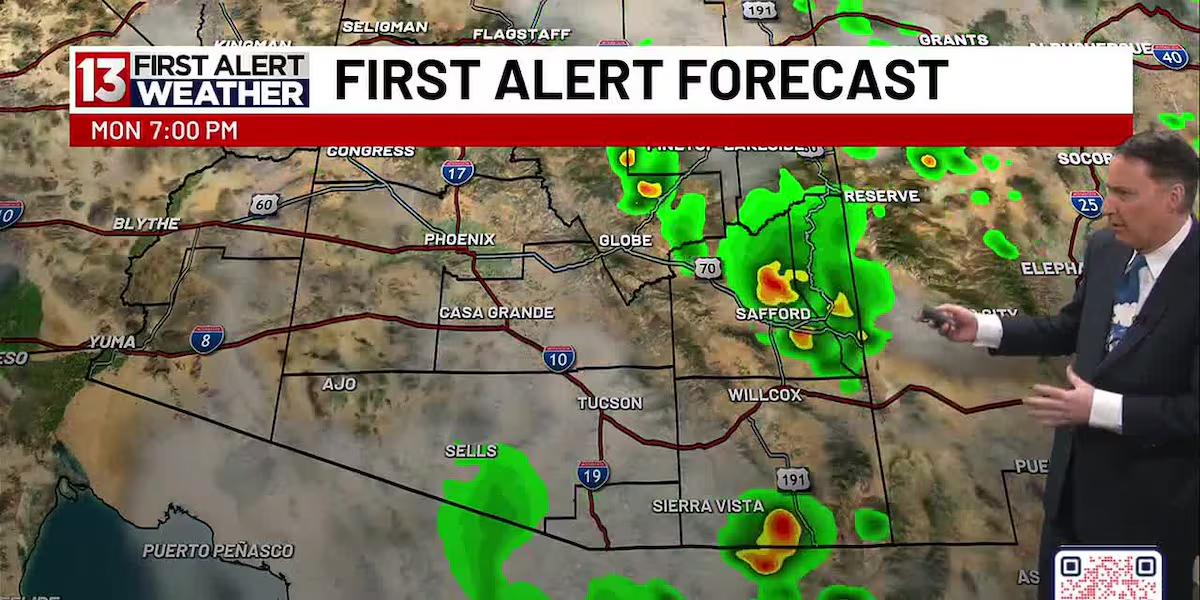
TUCSON, Ariz. (13 News) – Warm start, off to another sunny hot day with late day spotty thundershowers. Most of the action will fire up to our East and South, and an overnight shower possible. 104 for Tucson and gradually warming up into the late week.
Read more Gov. Katie Hobbs hosts 100 Days Out Rally in Tucson
A few early scattered clouds tomorrow with a slight dip on highs, around 102. Sunny and warming to near 110 come Friday. Might have Extreme heat statements by then and might be looking at another couple first alert weather days,
FIRST ALERT 7 DAY FORECAST:
Today – Sunny and hot, with a high near 105. Heat index values as high as 108. Light and variable wind becoming northwest 5 to 10 mph in the morning. Winds could gust as high as 20 mph.
Tonight – A 20 percent chance of showers and thunderstorms. Mostly cloudy, with a low around 80. West northwest wind 5 to 8 mph becoming calm after midnight.
Tuesday – Mostly cloudy, then gradually becoming sunny, with a high near 104. Calm wind becoming west northwest 5 to 9 mph in the morning.
Tuesday Night – Partly cloudy, with a low around 82. West northwest wind around 6 mph becoming calm after midnight.
Read more Brief cooldown ahead with low storm chances remaining
Wednesday – Mostly sunny and hot, with a high near 107. Calm wind becoming west northwest 5 to 8 mph in the afternoon.
Wednesday Night – Partly cloudy, with a low around 83.
Thursday – Sunny and hot, with a high near 109.
Thursday Night – Partly cloudy, with a low around 84.
Friday – Mostly sunny and hot, with a high near 110.
Friday Night – Partly cloudy, with a low around 84.
Saturday – A 20 percent chance of showers and thunderstorms. Mostly sunny and hot, with a high near 110.
Saturday Night – A 20 percent chance of showers and thunderstorms. Partly cloudy, with a low around 82.
Sunday – A 20 percent chance of showers and thunderstorms. Mostly sunny and hot, with a high near 107.
Read more Slight cooldown ahead with storm chances remaining