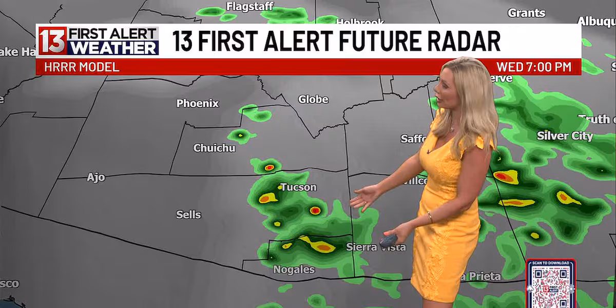
TUCSON, Ariz. (13 News) – The best chance for thunderstorms will be today. Increasing moisture will move in this afternoon for the potential afternoon showers and thunderstorms from Tucson south and eastward today.
Read more Police respond to yet another attack at Ronstadt Center in downtown Tucson
Some residual thunderstorm chances continue along the White Mountains Thursday then dry conditions Friday through the weekend.
Otherwise, breezy afternoons with temperatures near normal through the weekend, then warming above normal next week.
FIRST ALERT 7 DAY:
Today – A 30 percent chance of showers and thunderstorms after 2pm. Increasing clouds, with a high near 104. Light and variable wind becoming west 9 to 14 mph in the morning. Winds could gust as high as 23 mph.
Read more Biggs, Schweikert to headline first and only GOP gubernatorial debate
Tonight – A 30 percent chance of showers and thunderstorms before 11pm. Mostly cloudy, then gradually becoming clear, with a low around 74. West northwest wind 5 to 10 mph becoming east southeast after midnight.
Thursday – Sunny, with a high near 101. Light and variable wind becoming west 5 to 8 mph in the afternoon.
Thursday Night – Clear, with a low around 74. West wind 5 to 9 mph becoming calm in the evening.
Read more Jelly Roll files for divorce from Bunnie XO
Juneteenth – Sunny, with a high near 104.
Friday Night – Clear, with a low around 72.
Saturday – Sunny, with a high near 103.
Saturday Night – Clear, with a low around 71.
Sunday – Sunny, with a high near 103.
Sunday Night – Clear, with a low around 71.
Monday – Sunny and hot, with a high near 105.
Monday Night – Clear, with a low around 75.
Tuesday – Sunny and hot, with a high near 107.