 By admin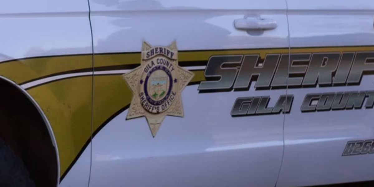
PAYSON, AZ (AZFamily) — Several drivers found themselves stranded after Google Maps took them on a wrong turn in eastern Arizona this weekend.
Read more Fiery crash leaves 2 dead, partially closes US 93 in Yavapai County
Gila County Sheriff’s Office posted on Sunday that multiple vehicles got stuck near Forest Service Road 64 and Forest Service Road 198, roughly 20 miles northeast of Payson.
Google Maps reportedly rerouted drivers onto Forest Service Road 64 from Highway 260, causing a traffic blunder. Deputies say the drivers got stuck due to bad road conditions and two-way traffic on a one-way road.
The sheriff’s office asked drivers not to follow Google Maps, since the forest service roads are rough, blocked with vehicles and “overall unpassable.”
Read more Measles outbreak at ICE facility in Florence
See a spelling or grammatical error in our story? Please click here to report it.
Do you have a photo or video of a breaking news story? Send it to us here with a brief description.
Read more Motorcyclist dies after crashing, falling off transition ramp in Chandler